Optimized Efficiency
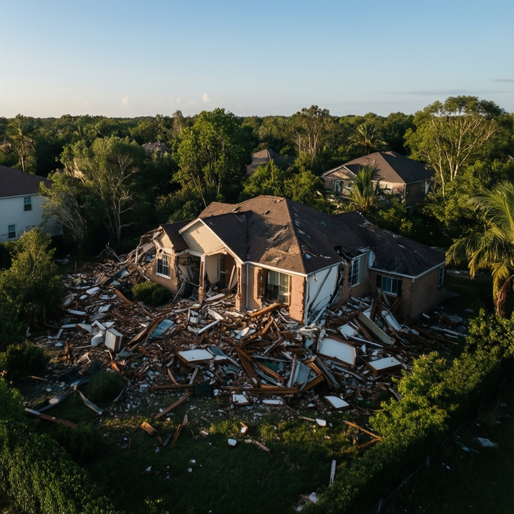
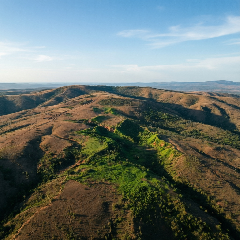
Our high-precision drone surveys eliminate the need for manual labor, reducing project timelines by up to 40%. By capturing 3D data in minutes, we identify structural issues before they escalate, preventing costly future repairs and ensuring your property remains in peak condition.
Our Expertise

Domestic Surveying
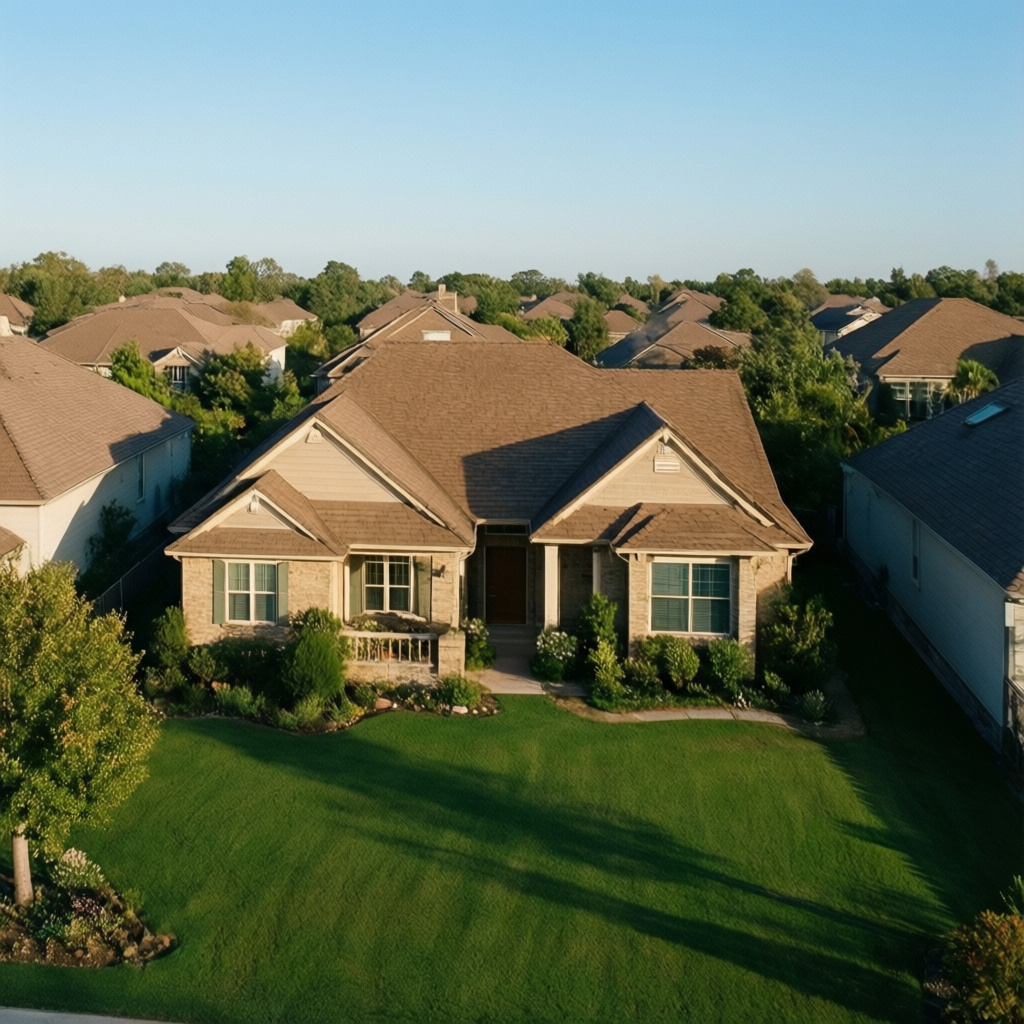
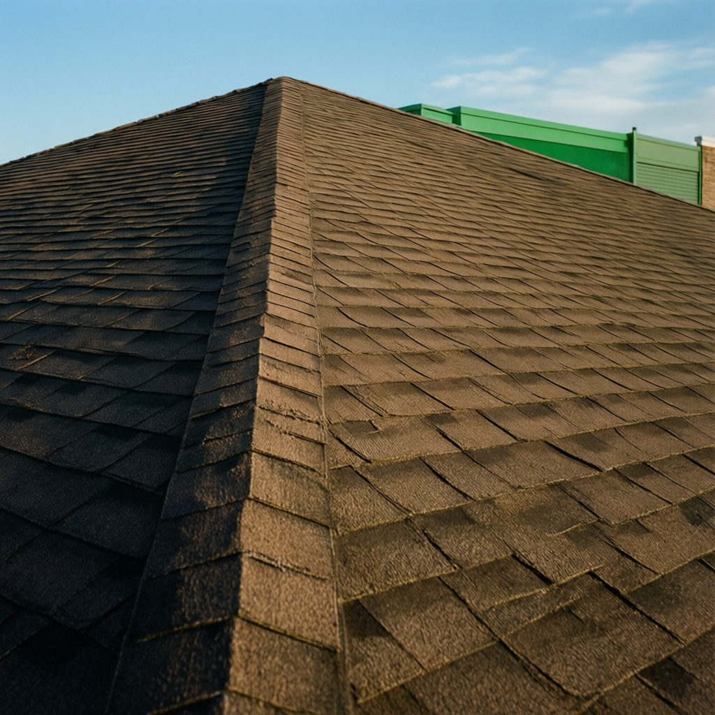
High-precision aerial mapping for residential properties, providing accurate topographic data to minimize labor costs and avoid future structural expenses.

Commercial Mapping
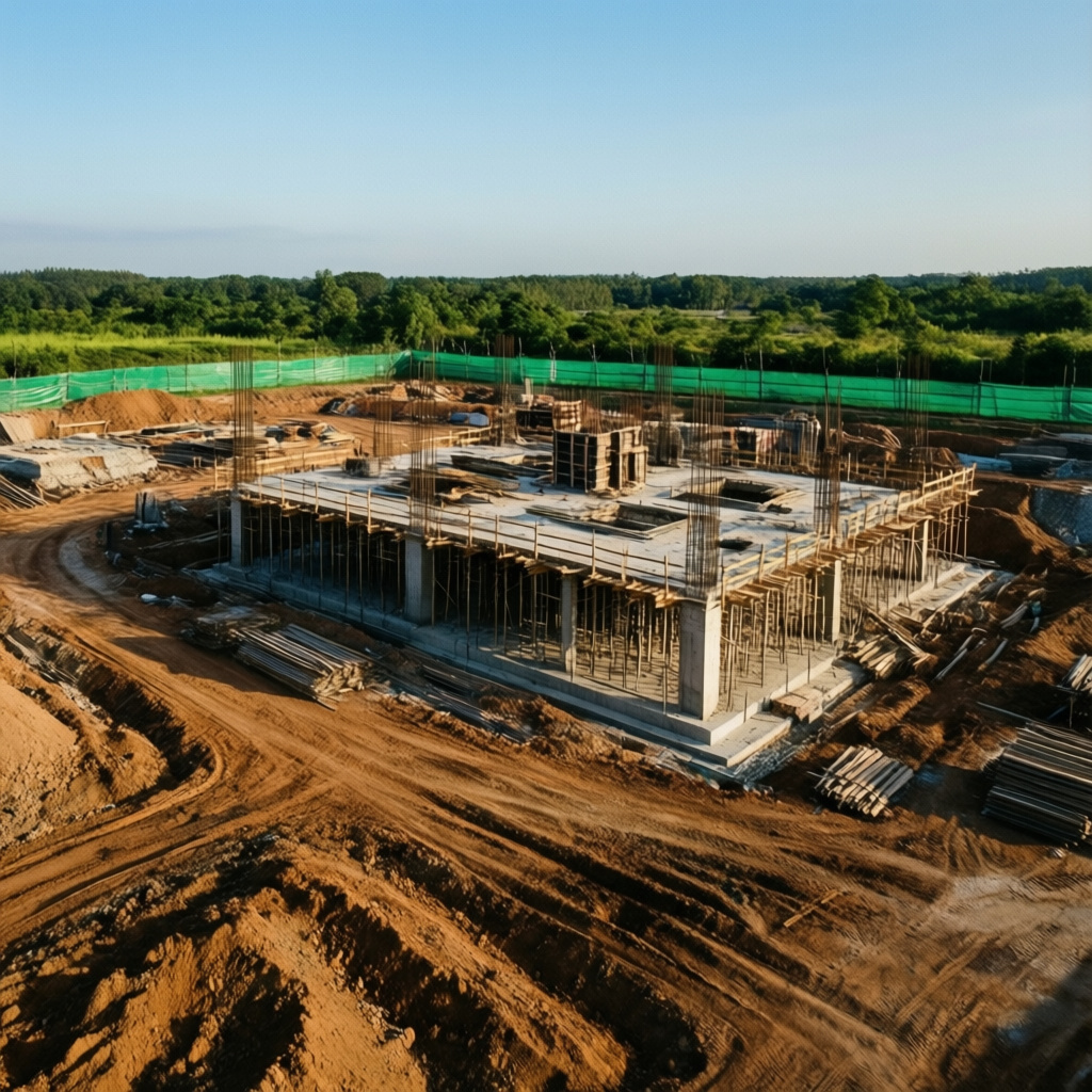
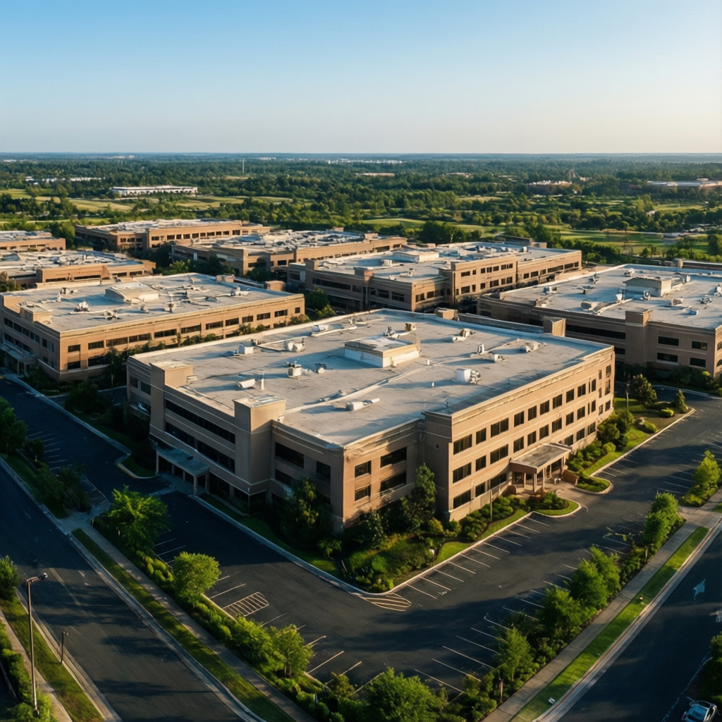
Advanced 3D modeling and large-scale topographic surveys for commercial real estate, ensuring operational efficiency and precise asset management.

Aerial Photography
Clinical aerial photography for property documentation, providing high-clarity visual records for legal compliance and asset valuation.


CLIENT REVIEWS
TESTIMONIALS
"The aerial survey data provided was of such high precision that we were able to finalize our commercial development plans without any costly site visits or delays."
Marcus Thorne, Project Director
TESTIMONIALS
"Drone Surveys and Photography completely transformed our property management. We saved over 40% on labor costs while gaining a level of accuracy we never thought possible."
Sarah Jenkins, Property Manager
TESTIMONIALS
"The technical expertise and clinical approach to our domestic survey were impressive. Their data is the gold standard for our engineering team."
David Chen, Civil Engineer
TESTIMONIALS
"Efficiency is our priority, and this service delivers it. The high-precision data saved us months of manual work and avoided future expenses."
Elena Rodriguez, Operations Lead